
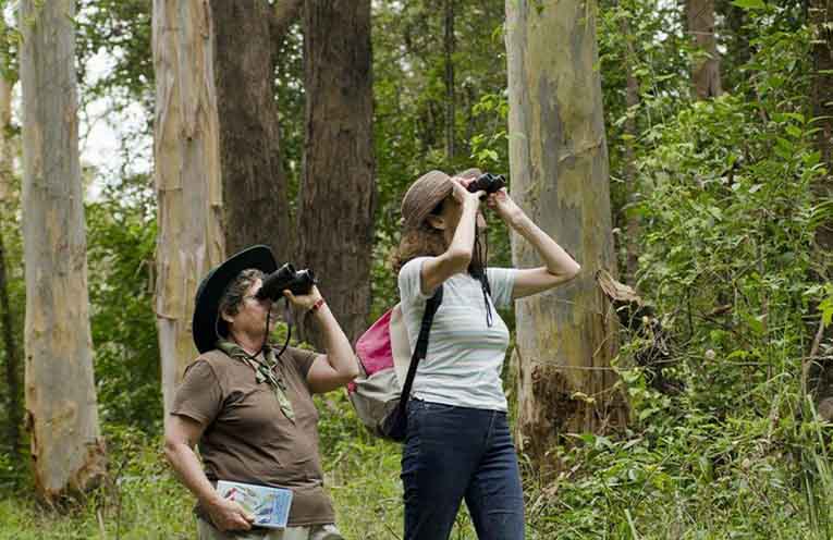
NSW State Forests are open for free, pet‑friendly camping from the coast to the high country.
There are almost 500 State Forests and many offer camping facilities where dogs, under their owner’s control, are welcome. Campfires are also permitted, outside of fire bans.
“State Forests are a fabulous resource for the community,” Manager Tourism and Partnerships Louise Faulkner said.
“They are free to use, and offer an array of facilities and ‘back to nature’ camping.
“Visitors can even bring their family dog along to join the holiday.
“All we ask is that people respect these special, natural environments, so that visitors can keep on enjoying them, year on year.”
Among the most popular family and dog-friendly State Forests are Coopernook, Wild Cattle Creek and Styx River.
The sites below are in forests near News Of The Area readers.
GPS locations and available facilities are included.
A more detailed list can be found by going to forestrycorporation.com.au.
Campers are reminded to check for forest and road closures before setting out and to stay up to date with fire bans on the RFS website.
State Forests
— Chichester State Forest: Allyn River Forest Rest Area – Ladies Well – Pademelon – Old Camp – White Rock. Location: Allyn River Rd, Upper Allyn. GPS:-32.155619°, 151.488603°. NB: Peach Tree and Mount Allyn are currently closed.
— Chichester State Forest – Telegherry Forest Park – Frying Pan Creek – Currawong Camping Area – Coachwood Camping Area. Location: Middle Ridge Rd, Upper Karuah River. GPS: -32.221114°, 151.745442°.
— Coopernook State Forest – Coopernook Forest Headquarters. Location: Bangalow Rd, Coopernook. GPS: -31.788881°, 152.608581°.
— Mount Boss State Forest – Wild Bull Camping Area – Cobrabald – The Bluff. Location: Cobrabald Rd, Kippara. GPS: -31.245876°, 152.513164°.
— Stewarts Brook State Forest – Moonan Outlook – The Firs. Location: Stewarts Brook NSW 2337. GPS: -31.93137288282747, 151.36193641023226
— Styx River State Forest – Wattle Flat Picnic Area – Wattle Flat Camping Area. Location: Boundary Rd, Armidale Region, GPS: -30.584152°, 152.200199°
—Wild Cattle Creek State Forest – Mobong Creek. Location: Moses Creek Rd, GPS: -30.218611°, 152.779190°.