
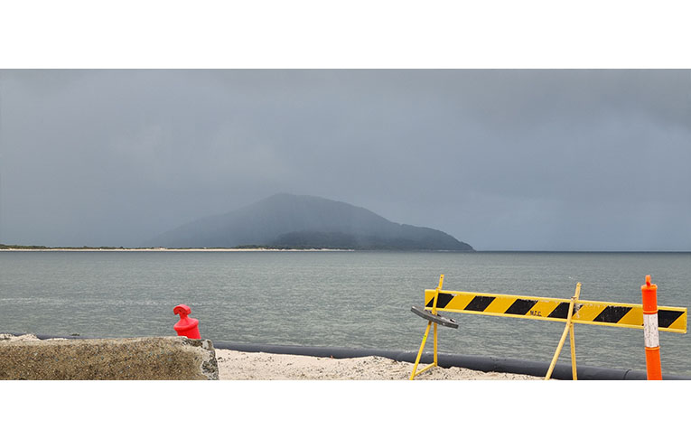
HEAVY rains returned to mark the start of August, adding to the stream of storm events in which locals have lost count.
Saturday 2 August saw powerful winds and relentless rain sweep-in with a low-pressure system from the south east, pounding rooftops across the coastal and hinterland regions, causing flash flooding and adding more water to areas already inundated.

Major weather warnings were issued by the Bureau of Meteorology all along the coast, from Newcastle to Coffs Harbour, including the Upper Hunter, Mid North Coast, Northern Tablelands and the North West Slopes and Plains.
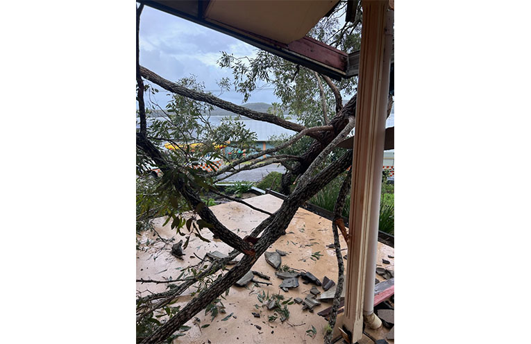
Damaging wind gusts in excess of 90 kilometres an hour brought down trees over the weekend and trains were cancelled along the Hunter Line between Scone, Dungog and Newcastle due to flooding at Sandgate.
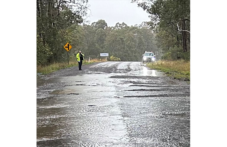
The Bucketts Way, bumpy at the best of times, suffered considerable surface damage, according to reports from Stroud SES volunteers.
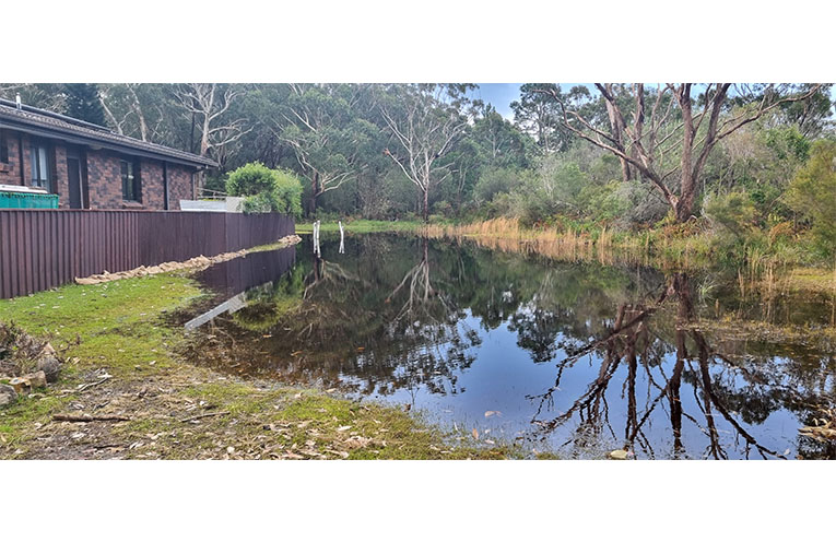
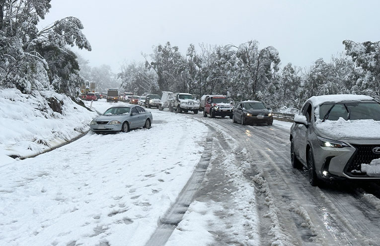
The heavy rain caused widespread riverine and flash flooding, while cold temperatures instigated highly irregular snowfalls and the hidden danger of black ice.
The SES reported unusually heavy falls, up to 50mm, in Walcha, Uralla, Ebor, Armidale, Guyra, Glen Innes and Moonbi Ranges.
Volunteers responded to more than 100 reports of cars being stuck on the New England Highway, Waterfall Way, Norris Drive and Grafton Road.
Once the rains stop, flash flooding should subside quickly.
However, low-lying areas and those areas close to the water table, will retain floodwaters for longer.
This raises potential public health issues, especially if septic tanks have flooded and overflowed, or storm drains have been blocked and are backed up.
NBN and power outages have been experienced in areas that are not necessarily flooded, proving the frailty of existing communications infrastructure.
The NSW SES urges residents to remain vigilant and not become complacent, and to avoid travel whenever possible.
NSW SES Assistant Commissioner Nicole Hogan ESM said rivers can rise quickly, as occurred in Scone over one night.
She urged residents to heed the warnings.
“Those in the area could become isolated without power, water and other essential services.”
Moderate flooding was expected on the Paterson and Williams rivers, while minor flood warnings were issued for the Myall, Severn, Manning, Gloucester, Macleay, Nepean, Gwydir Hawkesbury and Nepean Rivers.
Assistant Commissioner Hogan confirmed that the majority of flood rescue responses by the NSW SES were, disappointingly, for vehicles being driven into floodwaters.
A search was launched for a 26-year-old woman who had escaped a car that became stuck in floodwaters near Cessnock on Saturday evening.
She was washed away, while the 27-year-old driver was uninjured and was rescued.
“We implore the community to never, under any circumstance, drive through floodwaters,” Asst Comm. Hogan said.
“If you come across a flooded road, turn around and find another way.”
Over 1500 volunteers have been activated as the NSW SES responds to more than 1800 incidents since the onset of the severe weather.
To stay across the latest warnings and advice, download the Hazards Near Me app or visit the NSW SES website.
If you need assistance during storms and floods, call the NSW SES on 132 500.
In a life-threatening emergency, always call Triple Zero (000).
By Thomas O’KEEFE